Q1
What does a map show?
ALocation and layout of places
BOnly colours
COnly numbers
DNothing useful
Maps and diagrams are visual tools that help us represent geographic information, layouts, and relationships more clearly than words alone.
Core concept
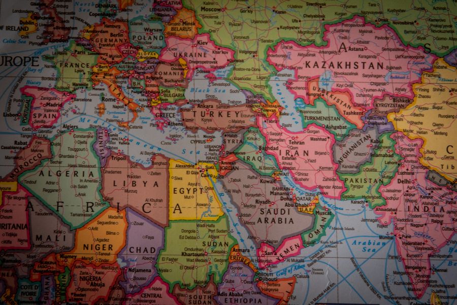
A map shows the location and layout of places, like countries, cities, or physical features such as mountains and rivers.
How it works
Diagrams, like a cross-section of the Earth, help us understand structures and processes we cannot see directly.
Why it matters
Different types of maps serve different purposes, like political maps (showing boundaries) or physical maps (showing landforms).
Key detail
Learning to read and interpret maps and diagrams is an essential geography skill for understanding our world.
Exam highlight
Trending
Most searched
Study resources
• Maps show location and layout of places.
• Diagrams show structures we cannot see directly.
• A cross-section of Earth is an example of a diagram.
• Political maps show boundaries.
• Physical maps show landforms.
• Different maps serve different purposes.
• Reading maps and diagrams is essential in geography.
• These tools help us understand our world.
See practice section for board-relevant questions.
Compare a political map and a physical map.
Write & explainDraw a simple diagram of a landform.
Write & explainDiscuss why diagrams help understand invisible structures.
Write & explainFind an example of a map used for a specific purpose.
Write & explainDiscuss the difference between a map and a diagram.
Write & explainCreate a simple map of your classroom.
Write & explainBeyond the syllabus
Theme